Services
We lend our knowledge and experience to your projects.
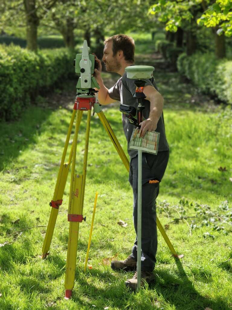
Geomatics and GIS
As professionals specialising in measurement, RealityCapture (RC), 3D imaging and Geographic Information Systems (GIS) have become a crucial part of our extensive toolkit. Our topographical surveys come with high-quality plans, maps and orthophotos by RTK drone. These types of data are used for real-estate projects, the mining industry (quarries and sandpits) as well as for sorting and landfill sites. They are also used for C²Project’s urban and infrastructure development projects.
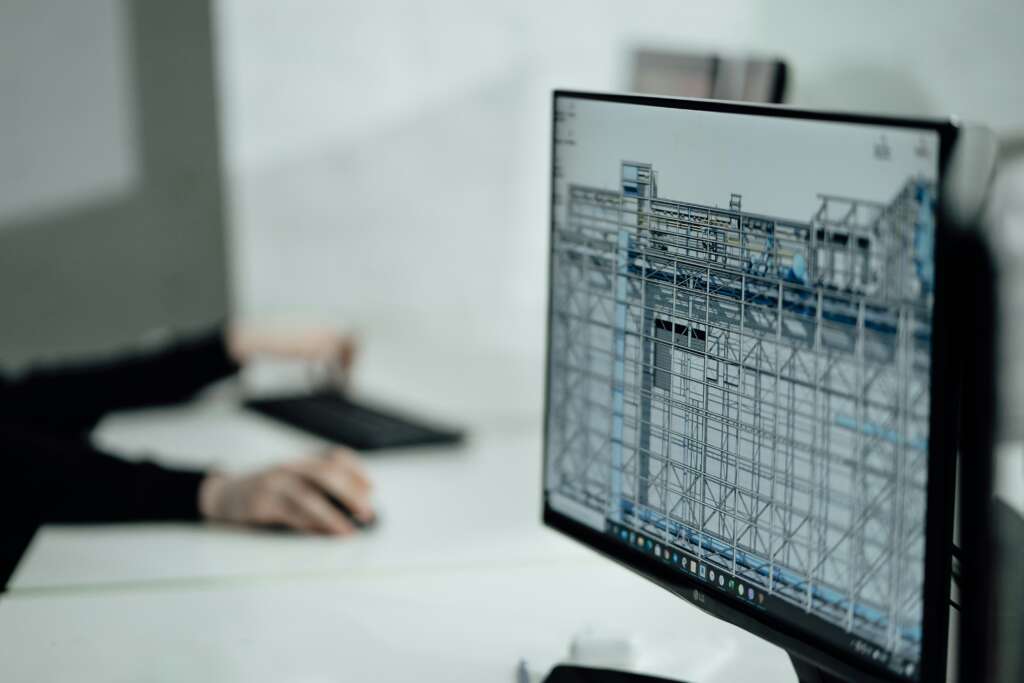
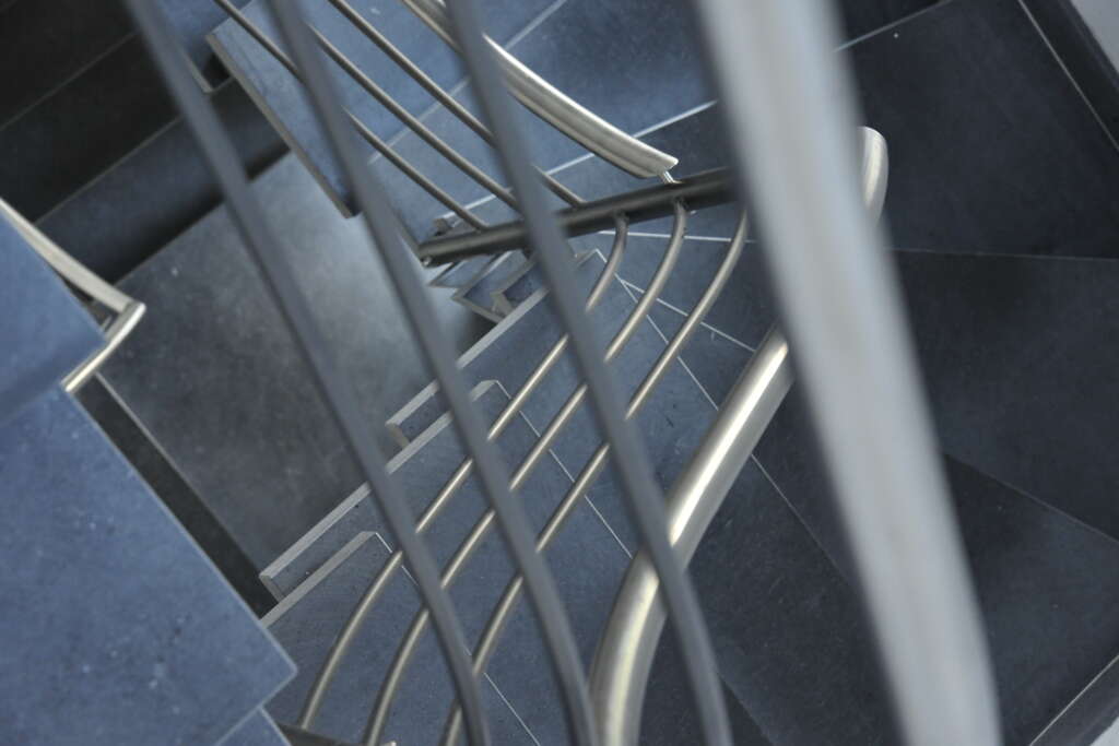
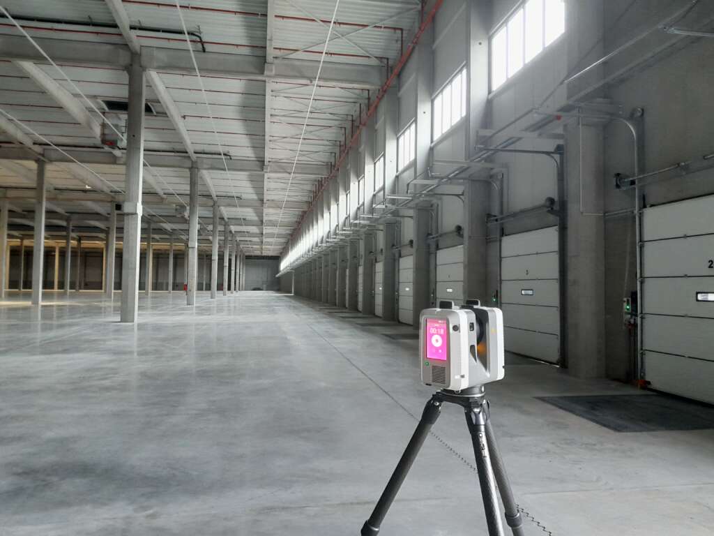
3D scanning and BIM
3D scanning has formed part of our tools since 2007. Thanks to our experience with a multitude of projects, we have become leaders in the use of 3D scanning for construction, industry and heritage sites.
We create point clouds for architects and engineering firms, and are experts in the entire post-processing and production chain to produce usable results as 2D plans or 3D digital BIM-compatible models in the form of digital twins.
Land and real-estate
Our land and real-estate services include amicable boundary demarcation, judicial boundary demarcation, boundary searches, boundary marker installation, land division for registration and pre-registration procedures, and ownership share reports for basic deeds of co-ownership.
These land and real-estate services come under the auspices of Expert Surveyors (Géomètre-Expert / Landmeter expert), the only professionals in Belgium recognised and authorised to handle these types of matters.
Expert assessment and reports
We offer property valuation services to prospective buyers, sellers and notaries, as well as the Federal Public Service (FPS) Finances. We also conduct pre-construction surveys and inspections for project owners, architects and contractors.